-40%
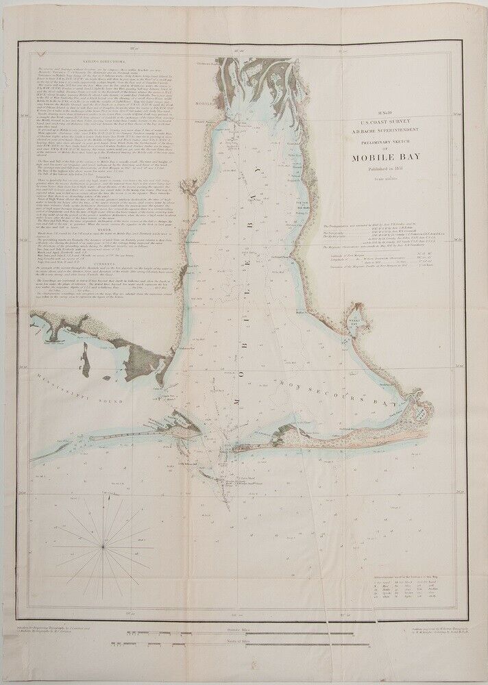
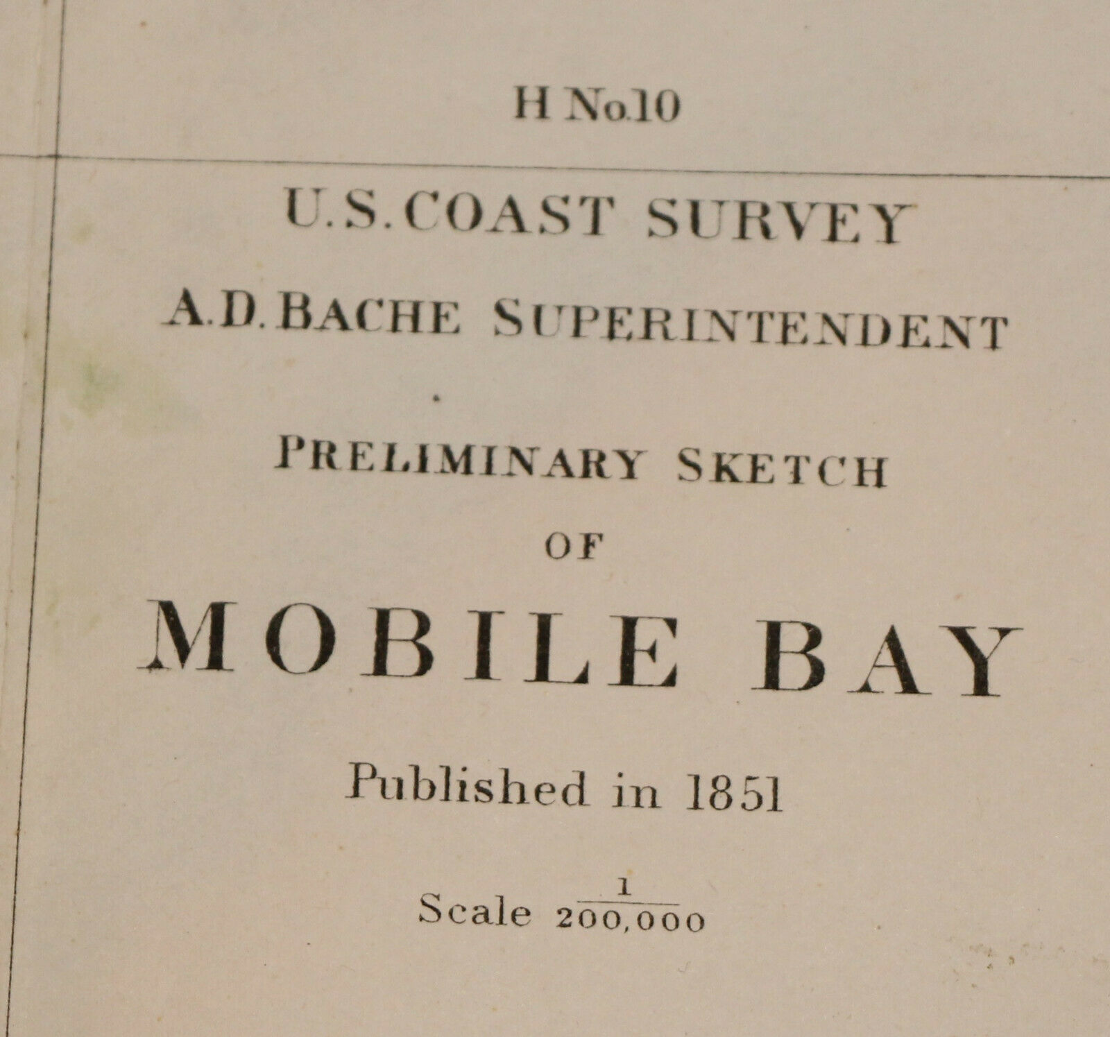
1851 US coast Survey map Mobile Bay, Alabama - 19.3" x 14.3" - Nautical - color
$ 118.8
- Description
- Size Guide
Description
US coast survey A. D. Bache Superintendent Preliminary Sketch of Mobile Bay 1851.This fine map displays the region from Grand Bay and the mouths of the Alabama and Apalachee Rivers south to Mobile Point, Dauphine Island, and the Sand Island Bank and extends westward into the Mississippi Sound. The city of Mobile Alabama is illustrated, along with excellent detail of the nearby river delta. Countless depth soundings are included throughout. Notes on tides, under sea dangers, and sailing instructions.
Excellent
overall condition, very minor browning along creases and an extra crease or two due to old improper folding - as evidenced by the pictures.
Dimensions (overall including margins) :
Width ~ 19.3"
Height ~ 14.3"
Scale :
1/200000
Shipping:
USPS and fully insured. Also, I am always more than happy to combine shipping for multiple lots won!
Please feel free to contact me with any questions you may have regarding this survey map and thanks for looking!


